
Cabuyaro topographic map
Interactive map
Click on the map to display elevation.
About this map
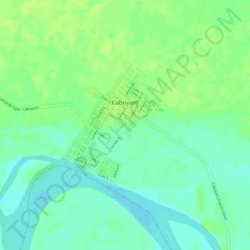
Name: Cabuyaro topographic map, elevation, terrain.
Location: Cabuyaro, Rio Meta, Meta, Colombia (4.27975 -72.79660 4.29282 -72.78726)
Average elevation: 554 ft
Minimum elevation: 525 ft
Maximum elevation: 574 ft
Other topographic maps
Click on a map to view its topography, its elevation and its terrain.