
Ruthven topographic map
Interactive map
Click on the map to display elevation.
About this map
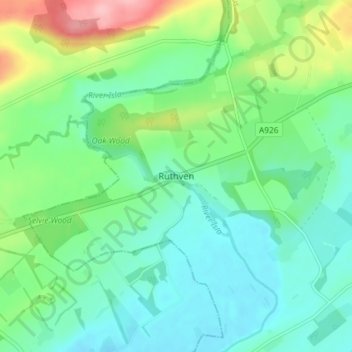
Name: Ruthven topographic map, elevation, terrain.
Location: Ruthven, Angus, Scotland, PH12 8RQ, United Kingdom (56.60649 -3.17956 56.64649 -3.13956)
Average elevation: 243 ft
Minimum elevation: 121 ft
Maximum elevation: 561 ft