
Ghar El Baroud topographic map
Interactive map
Click on the map to display elevation.
About this map
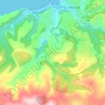
Name: Ghar El Baroud topographic map, elevation, terrain.
Location: Ghar El Baroud, Daïra Beni Saf, Aïn Témouchent, Algérie (35.26534 -1.41211 35.30534 -1.37211)
Average elevation: 479 ft
Minimum elevation: -7 ft
Maximum elevation: 1,168 ft