
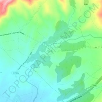
Abadía topographic map
Interactive map
Click on the map to display elevation.
About this map
Name: Abadía topographic map, elevation, terrain.
Location: Abadía, Cáceres, Estrémadure, 10748, Espagne (40.23929 -5.99753 40.27929 -5.95753)
Average elevation: 1,516 ft
Minimum elevation: 1,345 ft
Maximum elevation: 1,988 ft