
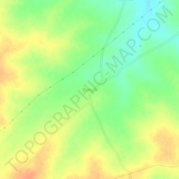
Bohali topographic map
Interactive map
Click on the map to display elevation.
About this map
Name: Bohali topographic map, elevation, terrain.
Location: Bohali, Pandharpur, Solapur, Maharashtra, India (17.58818 75.23111 17.62818 75.27111)
Average elevation: 1,627 ft
Minimum elevation: 1,558 ft
Maximum elevation: 1,683 ft