
Hamont-Achel topographic map
Interactive map
Click on the map to display elevation.
About this map
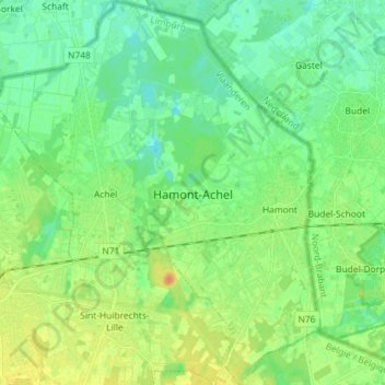
Name: Hamont-Achel topographic map, elevation, terrain.
Location: Hamont-Achel, Maaseik, Limburg, Flanders, 3930, Belgium (51.21006 5.43841 51.30016 5.56035)
Average elevation: 115 ft
Minimum elevation: 79 ft
Maximum elevation: 171 ft