
Makinohara topographic map
Interactive map
Click on the map to display elevation.
About this map
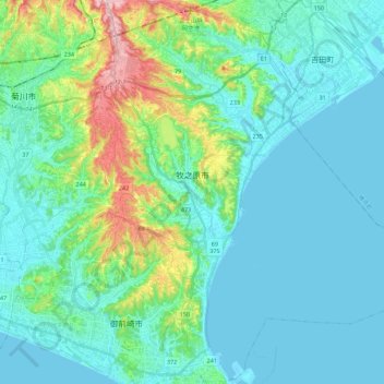
Name: Makinohara topographic map, elevation, terrain.
Location: Makinohara, Shizuoka Prefecture, Japan (34.61872 138.13192 34.80159 138.35085)
Average elevation: 121 ft
Minimum elevation: 0 ft
Maximum elevation: 646 ft