
Vélez topographic map
Interactive map
Click on the map to display elevation.
About this map
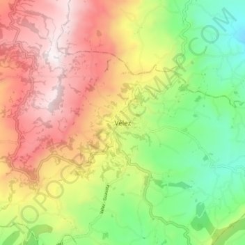
Name: Vélez topographic map, elevation, terrain.
Location: Vélez, Santander, Colombia (5.97236 -73.71296 6.05236 -73.63296)
Average elevation: 6,998 ft
Minimum elevation: 5,059 ft
Maximum elevation: 9,177 ft