
El Pego topographic map
Interactive map
Click on the map to display elevation.
About this map
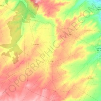
Name: El Pego topographic map, elevation, terrain.
Location: El Pego, Zamora, Castile and León, Spain (41.29965 -5.51091 41.38662 -5.42471)
Average elevation: 2,503 ft
Minimum elevation: 2,221 ft
Maximum elevation: 2,697 ft