
United topographic map
Interactive map
Click on the map to display elevation.
About this map
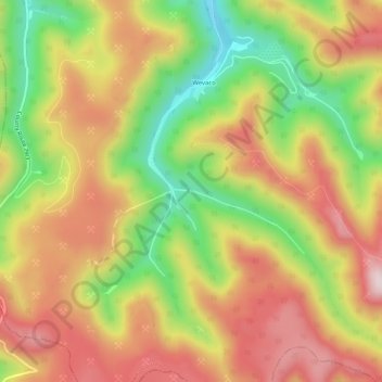
Name: United topographic map, elevation, terrain.
Location: United, Kanawha County, West Virginia, 25060, United States (37.97066 -81.44650 38.01066 -81.40650)
Average elevation: 1,991 ft
Minimum elevation: 1,178 ft
Maximum elevation: 2,700 ft