
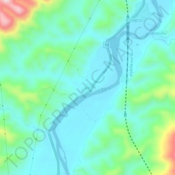
Mout topographic map
Interactive map
Click on the map to display elevation.
About this map
Name: Mout topographic map, elevation, terrain.
Location: Mout, Xiengngeun District, Luang Prabang, Laos (19.77001 102.16731 19.81001 102.20731)
Average elevation: 1,247 ft
Minimum elevation: 974 ft
Maximum elevation: 2,251 ft