
Blind River topographic map
Interactive map
Click on the map to display elevation.
About this map
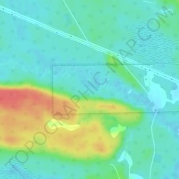
Name: Blind River topographic map, elevation, terrain.
Location: Blind River, Algoma District, Ontario, Canada (46.23140 -83.01609 46.23894 -83.00000)
Average elevation: 636 ft
Minimum elevation: 581 ft
Maximum elevation: 774 ft