
Aldama topographic map
Interactive map
Click on the map to display elevation.
About this map
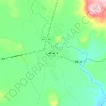
Name: Aldama topographic map, elevation, terrain.
Location: Aldama, Tamaulipas, Mexico (22.87961 -98.11417 22.95961 -98.03417)
Average elevation: 463 ft
Minimum elevation: 141 ft
Maximum elevation: 1,299 ft