
Formosa Province topographic map
Interactive map
Click on the map to display elevation.
About this map
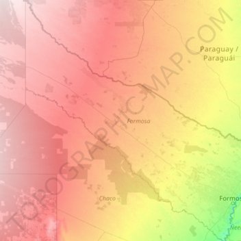
Name: Formosa Province topographic map, elevation, terrain.
Location: Formosa Province, Argentina (-26.87733 -62.34246 -22.47141 -57.55426)
Average elevation: 436 ft
Minimum elevation: 161 ft
Maximum elevation: 837 ft