
Santa Fe topographic map
Interactive map
Click on the map to display elevation.
About this map
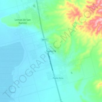
Name: Santa Fe topographic map, elevation, terrain.
Location: Santa Fe, Ensenada, Baja California, 22923, México (30.63846 -116.01535 30.71846 -115.93535)
Average elevation: 144 ft
Minimum elevation: -10 ft
Maximum elevation: 741 ft