
Popo topographic map
Interactive map
Click on the map to display elevation.
About this map
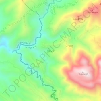
Name: Popo topographic map, elevation, terrain.
Location: Popo, KABUPATEN MANGGARAI, East Nusa Tenggara, Indonesia (-8.66730 120.27363 -8.62730 120.31363)
Average elevation: 2,533 ft
Minimum elevation: 1,545 ft
Maximum elevation: 3,930 ft