
CAY topographic map
Interactive map
Click on the map to display elevation.
About this map
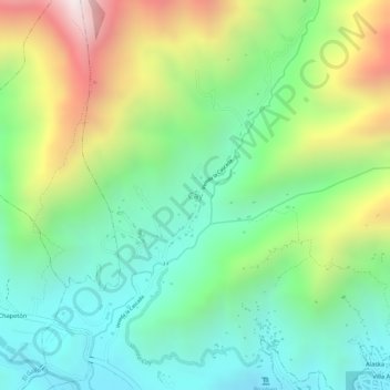
Name: CAY topographic map, elevation, terrain.
Location: CAY, Ibagué, Tolima, 730001, Colombia (4.45810 -75.26849 4.47810 -75.24849)
Average elevation: 5,184 ft
Minimum elevation: 4,190 ft
Maximum elevation: 6,864 ft
Other topographic maps
Click on a map to view its topography, its elevation and its terrain.