
Cushing topographic map
Interactive map
Click on the map to display elevation.
About this map
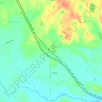
Name: Cushing topographic map, elevation, terrain.
Location: Cushing, Morrison County, Minnesota, United States (46.11969 -94.59696 46.15969 -94.55696)
Average elevation: 1,263 ft
Minimum elevation: 1,201 ft
Maximum elevation: 1,378 ft