
La Trapoune topographic map
Interactive map
Click on the map to display elevation.
About this map
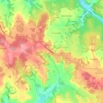
Name: La Trapoune topographic map, elevation, terrain.
Location: La Trapoune, Bergerac, Dordogne, Nouvelle-Aquitaine, France (44.68300 0.81676 44.72300 0.85676)
Average elevation: 594 ft
Minimum elevation: 390 ft
Maximum elevation: 748 ft