
Hinxworth topographic map
Interactive map
Click on the map to display elevation.
About this map
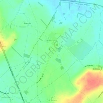
Name: Hinxworth topographic map, elevation, terrain.
Average elevation: 157 ft
Minimum elevation: 102 ft
Maximum elevation: 276 ft
Other topographic maps
Click on a map to view its topography, its elevation and its terrain.
Royston
United Kingdom > England > North Hertfordshire > Royston
Royston, North Hertfordshire, Hertfordshire, East of England, England, United Kingdom
Average elevation: 256 ft