
Cornell topographic map
Interactive map
Click on the map to display elevation.
About this map
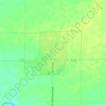
Name: Cornell topographic map, elevation, terrain.
Average elevation: 633 ft
Minimum elevation: 600 ft
Maximum elevation: 653 ft
Other topographic maps
Click on a map to view its topography, its elevation and its terrain.
Pontiac
United States > Illinois > Livingston County
Pontiac, Pontiac Township, Livingston County, Illinois, 61764, United States
Average elevation: 653 ft
Long Point
United States > Illinois > Livingston County
Long Point, Livingston County, Illinois, United States
Average elevation: 640 ft
Odell
United States > Illinois > Livingston County
Odell, Livingston County, Illinois, 60460, United States
Average elevation: 715 ft
Dwight
United States > Illinois > Livingston County
Dwight, Livingston County, Illinois, United States
Average elevation: 636 ft
Cornell
United States > Illinois > Livingston County > Cornell
Cornell, Amity Township, Livingston County, Illinois, 61319, United States
Average elevation: 630 ft
Forrest
United States > Illinois > Livingston County
Forrest, Livingston County, Illinois, 61741, United States
Average elevation: 696 ft