
Blanden topographic map
Interactive map
Click on the map to display elevation.
About this map
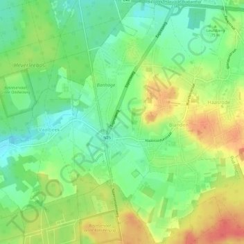
Name: Blanden topographic map, elevation, terrain.
Location: Blanden, Oud-Heverlee, Flemish Brabant, Flanders, 3052, Belgium (50.81114 4.69360 50.84521 4.72786)
Average elevation: 230 ft
Minimum elevation: 148 ft
Maximum elevation: 331 ft