
Pincourt topographic map
Interactive map
Click on the map to display elevation.
About this map
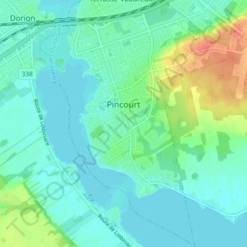
Name: Pincourt topographic map, elevation, terrain.
Location: Pincourt, Vaudreuil-Soulanges, Montérégie, Quebec, Canada (45.34490 -74.00802 45.39046 -73.95814)
Average elevation: 102 ft
Minimum elevation: 62 ft
Maximum elevation: 213 ft