
Middlegrove topographic map
Interactive map
Click on the map to display elevation.
About this map
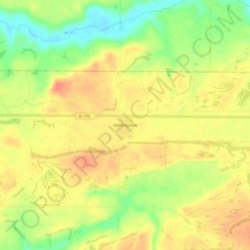
Name: Middlegrove topographic map, elevation, terrain.
Location: Middlegrove, Fulton County, Illinois, United States (40.68448 -90.11956 40.72448 -90.07956)
Average elevation: 702 ft
Minimum elevation: 600 ft
Maximum elevation: 771 ft