
Florida topographic map
Interactive map
Click on the map to display elevation.
About this map
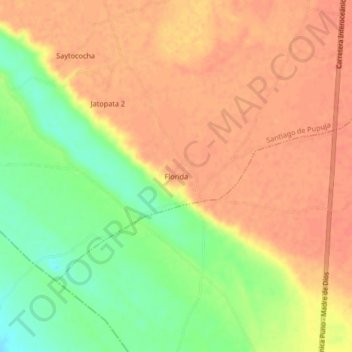
Name: Florida topographic map, elevation, terrain.
Location: Florida, Azángaro, Puno, Peru (-15.19039 -70.25698 -15.15039 -70.21698)
Average elevation: 12,802 ft
Minimum elevation: 12,703 ft
Maximum elevation: 12,854 ft