
Cuanza River topographic map
Interactive map
Click on the map to display elevation.
About this map
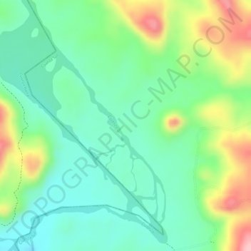
Name: Cuanza River topographic map, elevation, terrain.
Location: Cuanza River, Cuanza Sul, Angola (-9.71144 14.95454 -9.69572 14.96507)
Average elevation: 1,742 ft
Minimum elevation: 1,552 ft
Maximum elevation: 2,067 ft
Other topographic maps
Click on a map to view its topography, its elevation and its terrain.