
Achave topographic map
Interactive map
Click on the map to display elevation.
About this map
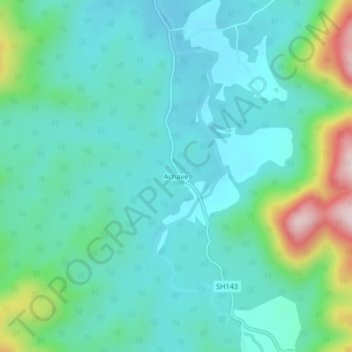
Name: Achave topographic map, elevation, terrain.
Location: Achave, ಚನಗಾರ, Ankola taluk, Uttara Kannada, Karnataka, India (14.61519 74.51245 14.65519 74.55245)
Average elevation: 358 ft
Minimum elevation: 95 ft
Maximum elevation: 1,316 ft