
Aurora topographic map
Interactive map
Click on the map to display elevation.
About this map
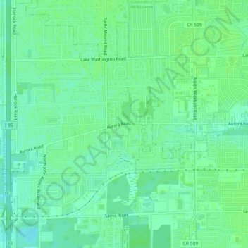
Name: Aurora topographic map, elevation, terrain.
Location: Aurora, Brevard County, Florida, 32934, United States (28.11573 -80.70476 28.15573 -80.66476)
Average elevation: 33 ft
Minimum elevation: 13 ft
Maximum elevation: 43 ft