
Anola topographic map
Interactive map
Click on the map to display elevation.
About this map
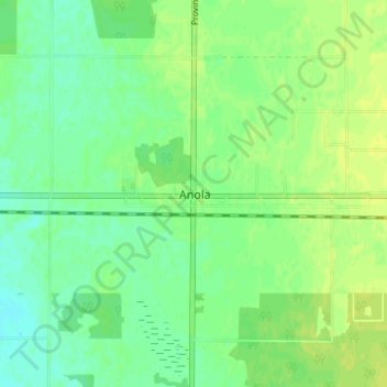
Name: Anola topographic map, elevation, terrain.
Location: Anola, Winnipeg (city), Manitoba, R0E 0A0, Canada (49.86526 -96.65726 49.90526 -96.61726)
Average elevation: 843 ft
Minimum elevation: 817 ft
Maximum elevation: 866 ft