
Hamlet of Springbrook topographic map
Interactive map
Click on the map to display elevation.
About this map
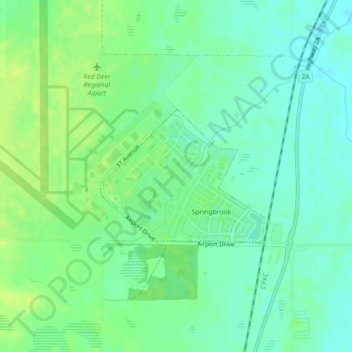
Name: Hamlet of Springbrook topographic map, elevation, terrain.
Location: Hamlet of Springbrook, Red Deer, Alberta, Canada (52.17225 -113.88545 52.18249 -113.86500)
Average elevation: 2,943 ft
Minimum elevation: 2,917 ft
Maximum elevation: 2,966 ft