
Sankt Wendel topographic map
Interactive map
Click on the map to display elevation.
About this map
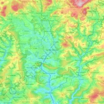
Name: Sankt Wendel topographic map, elevation, terrain.
Location: Sankt Wendel, Landkreis St. Wendel, Saarland, 66606, Duitsland (49.41609 7.06774 49.51141 7.30564)
Average elevation: 1,178 ft
Minimum elevation: 827 ft
Maximum elevation: 1,932 ft