
Laredo topographic map
Interactive map
Click on the map to display elevation.
About this map
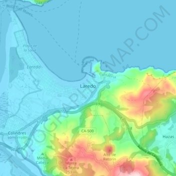
Name: Laredo topographic map, elevation, terrain.
Location: Laredo, Costa Oriental, Cantabria, España (43.38209 -3.46274 43.43777 -3.38218)
Average elevation: 174 ft
Minimum elevation: -7 ft
Maximum elevation: 1,024 ft