
Engreux topographic map
Interactive map
Click on the map to display elevation.
About this map
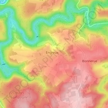
Name: Engreux topographic map, elevation, terrain.
Location: Engreux, Bastogne, Luxembourg, Wallonie, 6663, Belgique (50.10104 5.68301 50.14104 5.72301)
Average elevation: 1,273 ft
Minimum elevation: 869 ft
Maximum elevation: 1,558 ft