
Dortmund topographic map
Interactive map
Click on the map to display elevation.
About this map
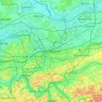
Name: Dortmund topographic map, elevation, terrain.
Location: Dortmund, North Rhine-Westphalia, 44135, Germany (51.35423 7.30528 51.67423 7.62528)
Average elevation: 367 ft
Minimum elevation: 138 ft
Maximum elevation: 1,499 ft