
Pathanamthitta topographic map
Interactive map
Click on the map to display elevation.
About this map
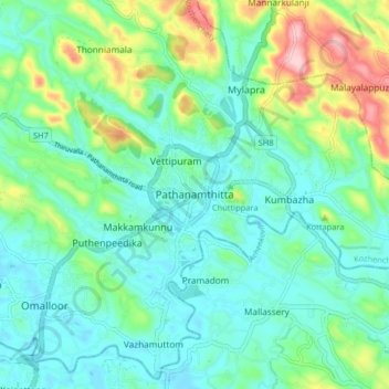
Name: Pathanamthitta topographic map, elevation, terrain.
Average elevation: 207 ft
Minimum elevation: 36 ft
Maximum elevation: 719 ft
Pathanamthitta has an average elevation of 18 metres (62 ft) above sea level.