
Nagaon topographic map
Interactive map
Click on the map to display elevation.
About this map
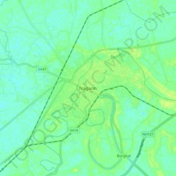
Name: Nagaon topographic map, elevation, terrain.
Location: Nagaon, Assam, 782001, India (26.18822 92.52582 26.50822 92.84582)
Average elevation: 262 ft
Minimum elevation: 180 ft
Maximum elevation: 2,772 ft