
Wokha topographic map
Interactive map
Click on the map to display elevation.
About this map
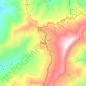
Name: Wokha topographic map, elevation, terrain.
Location: Wokha, Wokha Sadar, Wokha District, Nagaland, 797111, India (26.05630 94.21445 26.13630 94.29445)
Average elevation: 3,911 ft
Minimum elevation: 1,493 ft
Maximum elevation: 6,470 ft