
Bhimtal topographic map
Interactive map
Click on the map to display elevation.
About this map
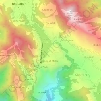
Name: Bhimtal topographic map, elevation, terrain.
Location: Bhimtal, Nainital, Uttarakhand, 263136, India (29.31960 79.54225 29.35960 79.58225)
Average elevation: 4,623 ft
Minimum elevation: 2,858 ft
Maximum elevation: 6,270 ft