
Kerkrade topographic map
Interactive map
Click on the map to display elevation.
About this map
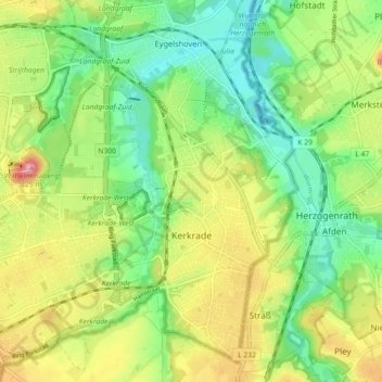
Name: Kerkrade topographic map, elevation, terrain.
Location: Kerkrade, Limburg, Netherlands (50.84368 6.00057 50.90041 6.08810)
Average elevation: 459 ft
Minimum elevation: 295 ft
Maximum elevation: 696 ft