
Prinsenbeek topographic map
Interactive map
Click on the map to display elevation.
About this map
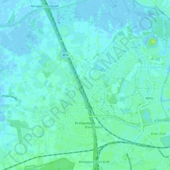
Name: Prinsenbeek topographic map, elevation, terrain.
Location: Prinsenbeek, Breda, North Brabant, Netherlands (51.58771 4.65798 51.63808 4.74825)
Average elevation: 10 ft
Minimum elevation: -10 ft
Maximum elevation: 36 ft