
Schoorl topographic map
Interactive map
Click on the map to display elevation.
About this map
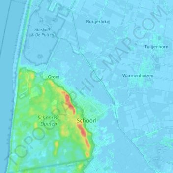
Name: Schoorl topographic map, elevation, terrain.
Location: Schoorl, Bergen (NH), North Holland, Netherlands (52.67564 4.61546 52.75833 4.72524)
Average elevation: 10 ft
Minimum elevation: -13 ft
Maximum elevation: 144 ft