
Sira topographic map
Interactive map
Click on the map to display elevation.
About this map
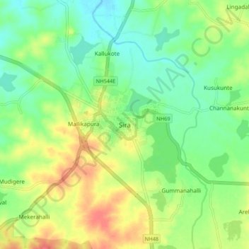
Name: Sira topographic map, elevation, terrain.
Location: Sira, Sira taluk, Tumkur district, Karnataka, 572137, India (13.70095 76.86574 13.78095 76.94574)
Average elevation: 2,149 ft
Minimum elevation: 2,073 ft
Maximum elevation: 2,254 ft