
Mawsynram topographic map
Interactive map
Click on the map to display elevation.
About this map
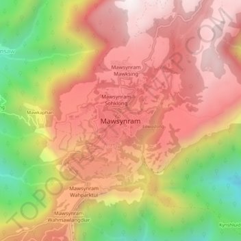
Name: Mawsynram topographic map, elevation, terrain.
Location: Mawsynram, East Khasi Hills, Meghalaya, India (25.27882 91.56245 25.31882 91.60245)
Average elevation: 4,019 ft
Minimum elevation: 1,726 ft
Maximum elevation: 5,561 ft