
Oudwoude topographic map
Interactive map
Click on the map to display elevation.
About this map
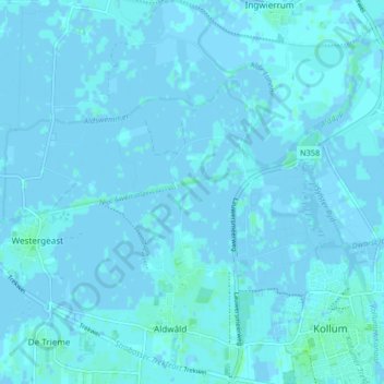
Name: Oudwoude topographic map, elevation, terrain.
Location: Oudwoude, Noardeast-Fryslân, Friesland, Nederland (53.27276 6.09377 53.32184 6.13689)
Average elevation: 3 ft
Minimum elevation: -10 ft
Maximum elevation: 20 ft