
Oldeholtwolde topographic map
Interactive map
Click on the map to display elevation.
About this map
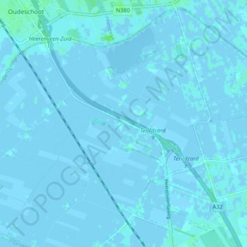
Name: Oldeholtwolde topographic map, elevation, terrain.
Location: Oldeholtwolde, Weststellingwerf, Friesland, Nederland (52.89230 5.94791 52.93400 6.02178)
Average elevation: 0 ft
Minimum elevation: -13 ft
Maximum elevation: 23 ft
Other topographic maps
Click on a map to view its topography, its elevation and its terrain.
Noordwolde
Nederland > Friesland > Weststellingwerf > Noordwolde
Noordwolde, Weststellingwerf, Friesland, Nederland
Average elevation: 13 ft
Spanga
Nederland > Friesland > Weststellingwerf
Spanga, Weststellingwerf, Friesland, Nederland
Average elevation: 0 ft