
Grootegast topographic map
Interactive map
Click on the map to display elevation.
About this map
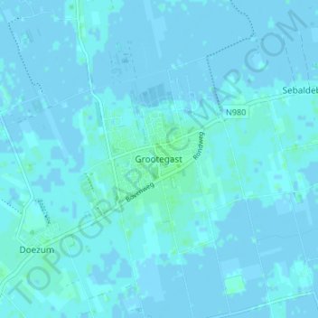
Name: Grootegast topographic map, elevation, terrain.
Location: Grootegast, Groningen, Nederland, 9861, Nederland (53.19151 6.25449 53.23151 6.29449)
Average elevation: 3 ft
Minimum elevation: -10 ft
Maximum elevation: 16 ft