
Eemdijk topographic map
Interactive map
Click on the map to display elevation.
About this map
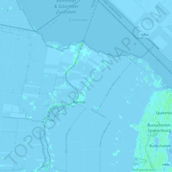
Name: Eemdijk topographic map, elevation, terrain.
Location: Eemdijk, Bunschoten, Utrecht, Nederland (52.23046 5.31046 52.28773 5.36160)
Average elevation: -3 ft
Minimum elevation: -20 ft
Maximum elevation: 13 ft