
Sint Annaparochie topographic map
Interactive map
Click on the map to display elevation.
About this map
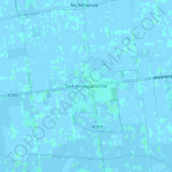
Name: Sint Annaparochie topographic map, elevation, terrain.
Location: Sint Annaparochie, Friesland, Nederland, 9076, Nederland (53.25639 5.63476 53.29639 5.67476)
Average elevation: 0 ft
Minimum elevation: -10 ft
Maximum elevation: 10 ft