
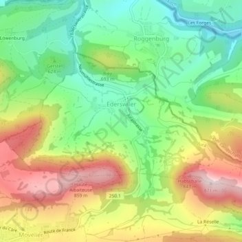
Ederswiler topographic map
Interactive map
Click on the map to display elevation.
About this map
Name: Ederswiler topographic map, elevation, terrain.
Location: Ederswiler, District de Delémont, Giura, 2813, Svizzera (47.41500 7.31336 47.43209 7.35799)
Average elevation: 2,116 ft
Minimum elevation: 1,572 ft
Maximum elevation: 2,844 ft