
Schiermonnikoog topographic map
Interactive map
Click on the map to display elevation.
About this map
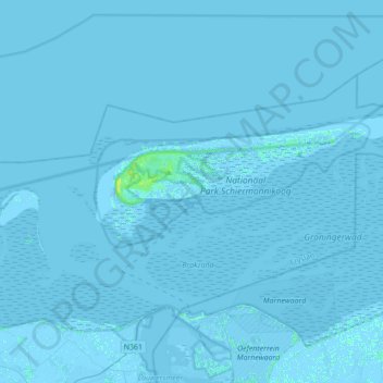
Name: Schiermonnikoog topographic map, elevation, terrain.
Location: Schiermonnikoog, Frisia, Netherlands (53.41329 6.05012 53.53971 6.41868)
Average elevation: 0 ft
Minimum elevation: -23 ft
Maximum elevation: 33 ft